From your first interactive web map to enterprise spatial data pipelines — we cover the full geospatial stack. Trusted by clients in 5 countries, top-rated on Upwork.
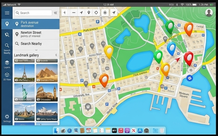
GIS Vantage Group design and build custom interactive maps that live on your website, app, or internal platform — powered by the world's leading mapping libraries.
Whether you need a simple location finder or a complex multi-layer analytical map, our Web GIS developers combine spatial thinking with modern frontend engineering. We built real Interactive Map from your polygons and locations.
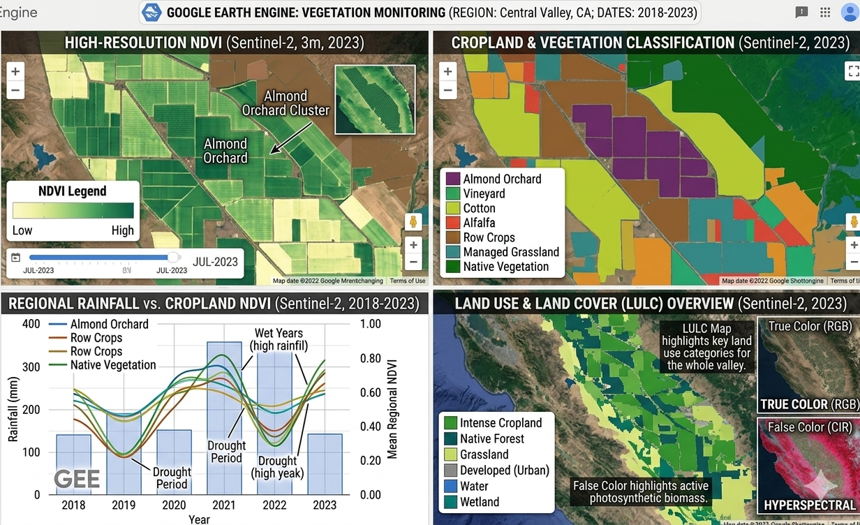
We process multi-spectral satellite imagery from Landsat, Sentinel-2, and commercial providers to extract actionable intelligence from your environment.
Our analysts turn raw satellite scenes into classified land cover maps, vegetation stress indices, water body change detection reports, and atmospheric analysis outputs. Every deliverable is georeferenced, documented, and ready for your GIS or decision-making workflow.
Spatial intelligence — Analyzing your geographic data into answers about proximity, density, risk, and opportunity.
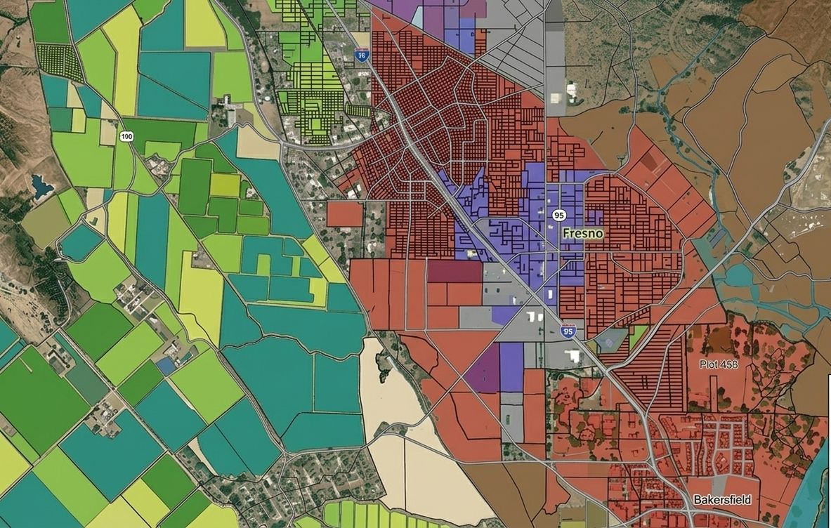
We apply advanced geoprocessing techniques to help businesses and organizations understand their spatial relationships. From site suitability analysis for retail expansion to transportation network modelling for city planners, our spatial analysis work drives real decisions.
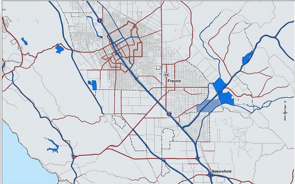
Precision digitization of land parcels, property boundaries, and transportation networks from satellite imagery, basemaps, and scanned documents.
We have delivered high-accuracy cadastral datasets for land management agencies, property developers, and urban planning departments. Our team follows rigorous topology rules and geodatabase schemas to ensure your data is production-ready and integrates with your existing GIS infrastructure.
Eliminate repetitive GIS tasks with Python — automate data processing, batch analysis, and report generation at scale.
Our Python GIS specialists use ArcPy, GeoPandas, Shapely, Fiona, and Rasterio to build custom automation tools that save hours of manual work.

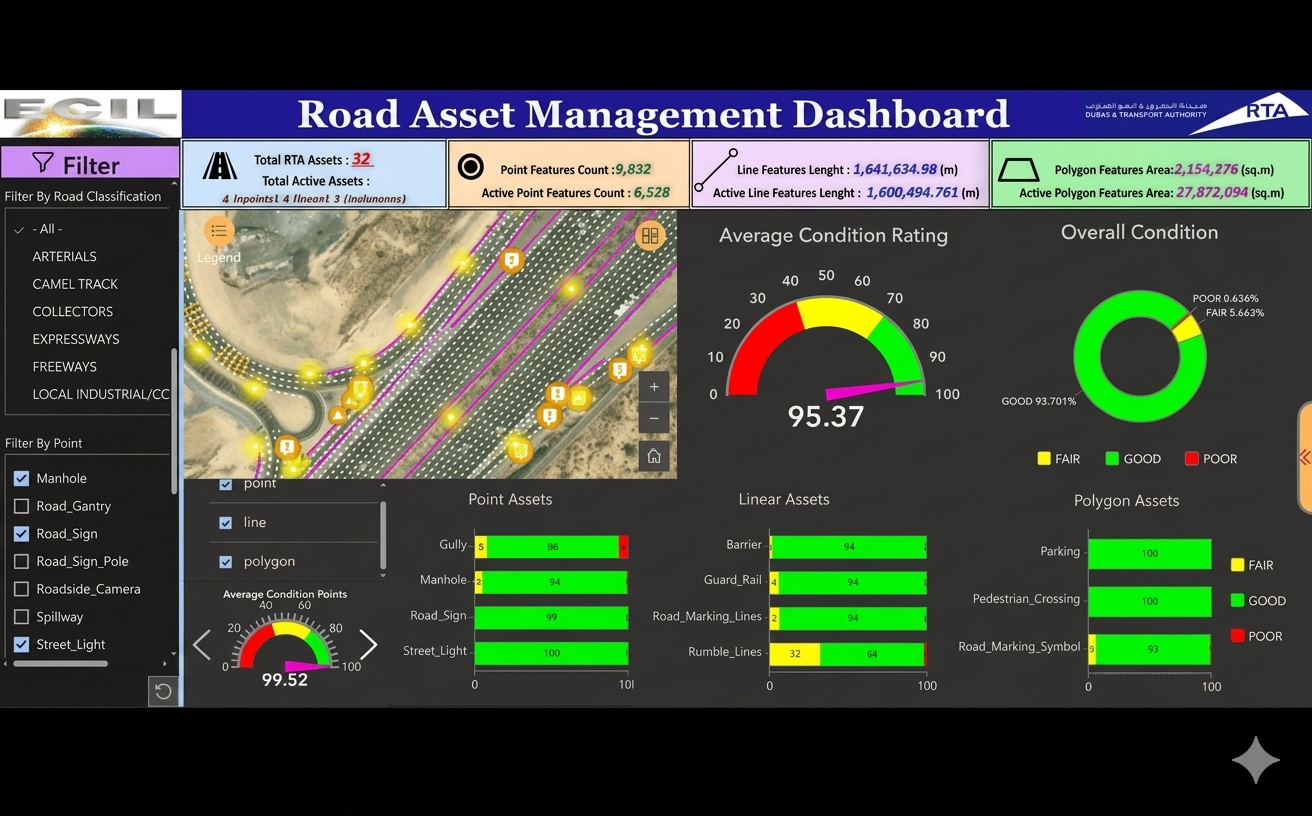
Operational dashboards, StoryMaps, and Experience Builder Webmaps — Shows your spatial data live on map, anywhere.
We build ArcGIS Online-powered solutions that non-GIS users can actually use. We provide full ArcGIS Online ecosystem coverage.
A clear, collaborative workflow from first message to final delivery.
We understand your data, goals, and timeline. No jargon — just a clear conversation about what you need.
You receive a detailed scope document with deliverables, timeline, and transparent pricing. Usually within 24 hours.
We execute with regular check and progress updates. You see the work as it develops — no surprises at the end.
Final files, documentation, and a walkthrough of the deliverables. Post-delivery support included.
We work across the full geospatial stack — ArcGIS Pro, ArcGIS Online, QGIS, Leaflet.js, Mapbox, Google Earth Engine, Python (GeoPandas, ArcPy), and more. We recommend the best tool for your specific project requirements and budget.
Not necessarily. We can source publicly available data (OpenStreetMap, Census, satellite imagery, government datasets), or work with your existing data files. We'll advise you on the best approach during the discovery phase.
Timelines vary by scope. A simple interactive web map can be delivered in 3–5 days. A full ArcGIS dashboard with custom data integration typically takes 1–2 weeks. Complex satellite analysis or multi-layer web apps may take 2–4 weeks. We always provide a timeline in our proposal.
Absolutely — we've delivered projects for clients in the US, UK, UAE, Australia, and Russia. We work asynchronously across time zones and communicate clearly via Upwork, email, or video call.
We deliver in the format that works best for you: Shapefile, GeoJSON, GeoPackage, KML, File Geodatabase (.gdb), Raster (GeoTIFF, ECW), PDF maps, or hosted web services. Just let us know your requirements.
Yes — this is one of our most popular requests. We build ArcGIS Online apps and Leaflet/Mapbox maps that anyone can use without GIS knowledge. We also provide training documentation for your team.
Tell us about your project — we respond within 24 hours.