Home Services Portfolio Articles About Contact

Previous Projects

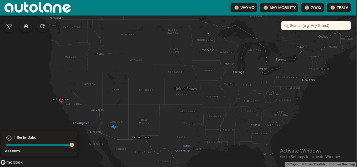
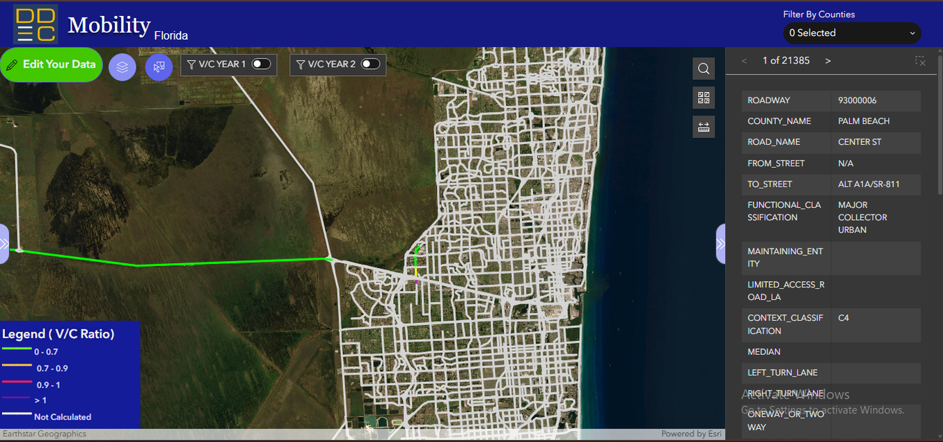
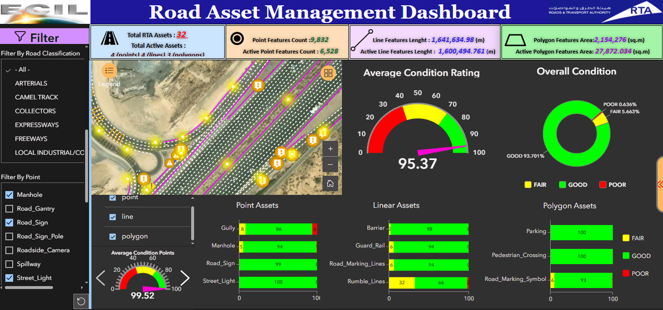
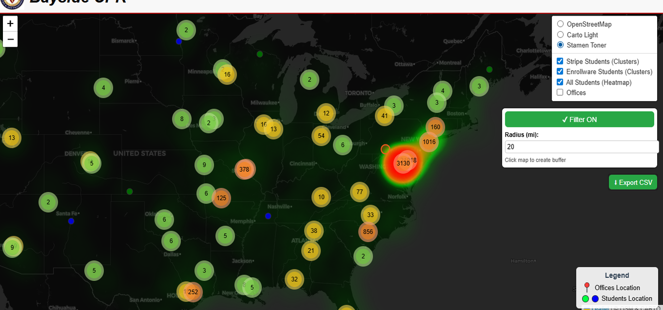
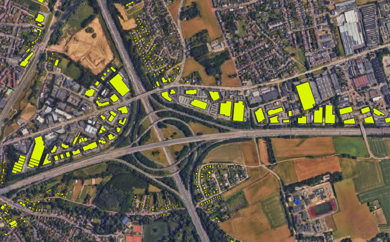
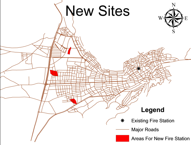
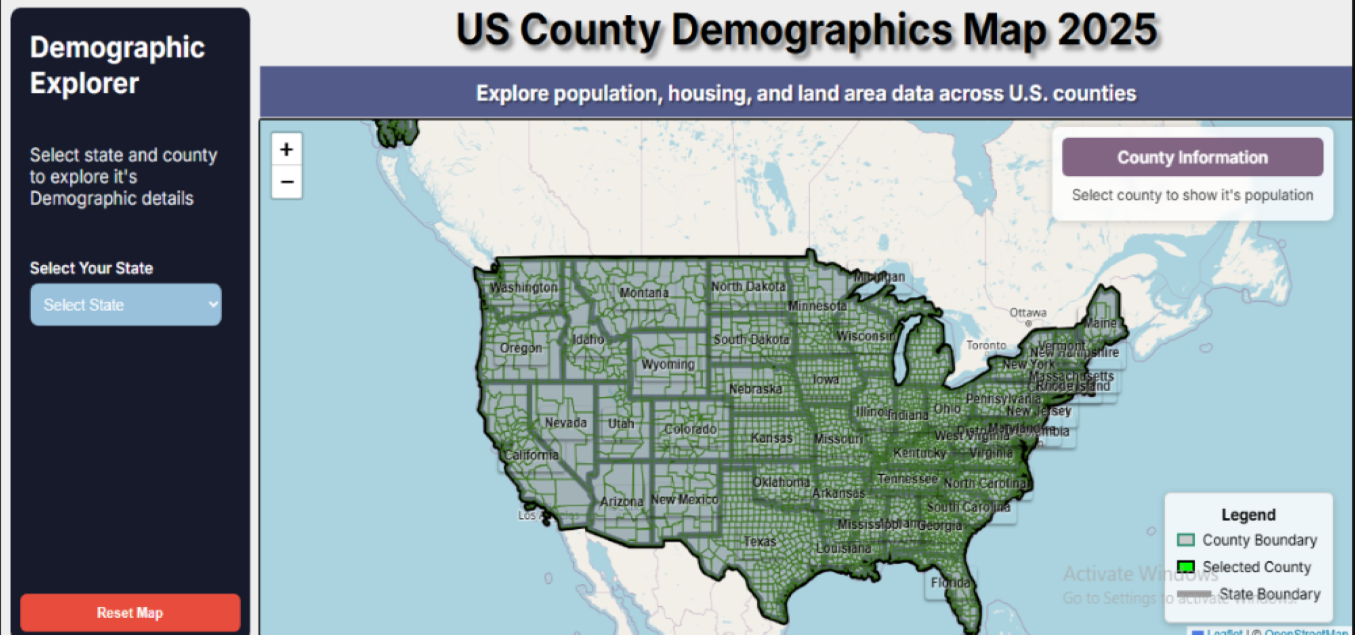
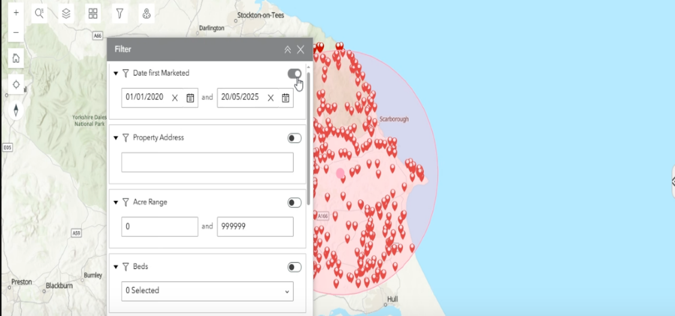
40+ geospatial projects delivered across 5 countries — from first web maps to enterprise dashboards and satellite imagery analysis.

Autonomous Vehicle interactive GIS map using Mapbox
⊕ View Gallery
Interactive Map

AV Interactive Map

Interactive GIS map of autonomous vehicle zones using Mapbox & Google Places API, enabling business search, spatial intelligence, and smart city mobility insights.

Mapbox GLGoogle Places APIInteractive Map
ArcGIS Experience Builder AADT road analysis app
⊕ View Gallery
Webmap Data Edit

ArcGIS Data Editing Map

ArcGIS Experience Builder app for AADT road analysis (DDEC LLC) with interactive mapping, spatial editing, Python automation, and Volume to Capacity (V/C) analytics.

ArcGIS Experience BuilderPythonRoad Analysis
ArcGIS Online Dashboard for RTA Dubai
⊕ View Gallery
Dashboard

ArcGIS Online Dashboard

Road asset management dashboard for Road Features/Assets integration for the Roads & Transport Authority (RTA) Dubai. Live KPI tracking and spatial asset inspection.

ArcGIS DashboardsLiDARUAE
ArcGIS Online heatmap for CPR services
⊕ View Gallery
Heatmap

Heatmap Clustering

ArcGIS Online heatmap for visualizing US client distribution, demand density insights, and strategic location planning across multiple states.

ArcGIS OnlineHeatmapDemand Analysis
Land parcel digitization for cadastral mapping
⊕ View Gallery
Cadastral

Land Parcel Digitization

High-precision land parcel digitization from satellite imagery and basemaps, creating structured cadastral datasets for land management, GIS analysis, and legal records.

CadastralSatellite ImageryGeodatabase
Transportation network digitization
⊕ View Gallery
Digitization

Transportation Network Digitization

Digitization of transportation networks from basemaps, including road extraction, route structuring, and creation of accurate vector datasets for network analysis.

DigitizationRoad NetworkVector GIS
USA County Population Interactive Map built with Leaflet.js
⊕ View Gallery
Web GIS

USA Population Map

Leaflet.js interactive map for U.S. county demographics and Population 2025 with dynamic filters, real-time data panels, and intuitive spatial visualization across all 50 states.

Leaflet.jsGeoJSONDemographics
ArcGIS Experience Builder property land details
⊕ View Gallery
Property GIS

Property Land Details App

ArcGIS Experience Builder web app with high interactivity, advanced customization, embedded interactive mapping, and land attribute display for property management.

ArcGIS Experience BuilderPropertyLand Records
City GIS layout mapping for urban planning
⊕ View Gallery
Urban Planning

City Layout Mapping (GIS)

Detailed GIS-based layout mapping for multiple cities, including road networks, land-use zoning, and spatial data structuring for urban planning and analysis.

ArcGIS ProUrban PlanningLand Use
Python geospatial tool for distance calculation
⊕ View Project
Python GIS

GIS Web Tool

Custom Python geospatial tool for nearest office analysis, calculating customer proximity to service locations and optimizing location-based business decisions.

PythonGeoPandasProximity Analysis
Tools Used

GIS Stack Across Projects

Every project uses the right tools — here's what powers our deliverables.

Esri ArcGISArcGIS Esri
QGISQGIS
Web GISLeaflet.js
Python GISPython / ArcPy
Remote SensingRemote Sensing
MapboxMapbox GL
GEEGoogle Earth Engine

Ready to Build Your GIS Solution?

Tell us about your project — we respond within 24 hours.